Monday, 30 January 2012
Isle of Skye Trail Slide Show
2011 saw us doing the Skye Trail and this Wednesday 1st February will be the slide show being done for Stockport walking and Outdoor group. The slide will be about 30 mins long and also there will be one on the Dolomites. Start 8pm
Tuesday, 3 January 2012
Buttermere Weekend Walk 1

This New Year we were in Buttermere Hostel. Four days in total and with 3 walks done. The weather was not the kindest for us. We were up there with our local walking group in Stockport.
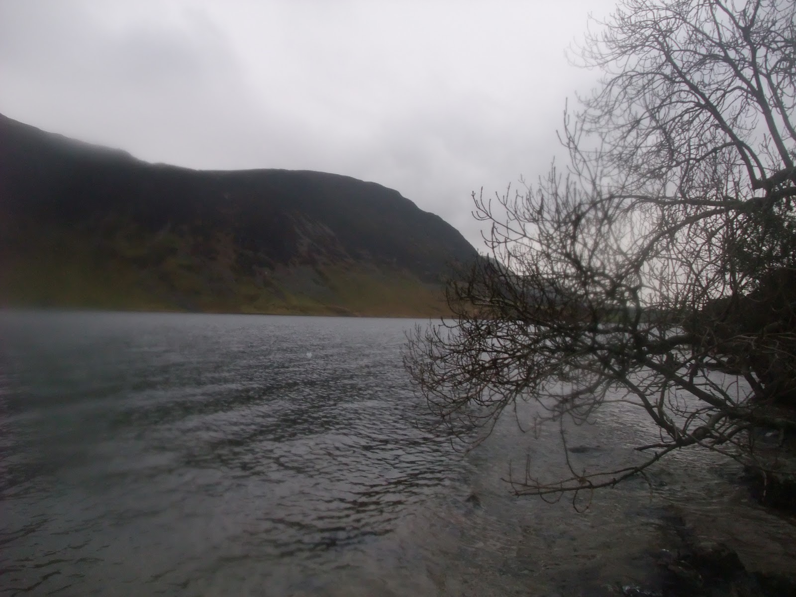
 |
| Buttermere |
I had an aim for the walks. Which was not do the main walks if you in Buttermere, but pick a different set of wainwrights that we have not done.
So the first walk was to take in Melbreak at the side of Crummock Water. From the hostel we passed the two pubs of the village and headed towards the path that would take you up to Red Pike. Where we turned northwest along the path to Scale Force Waterfall. With views down Crummock Water. We carried on up Blacks beck where we cross and picked up the path up onto Mellbreak in a North direction. At the end of the ridge we did not expect the scree slope to get down. It was only small hill.
 |
| Scale Force |
Once down we headed for Kirkstile Inn where we enjoyed fine cask ale with a roaring open fire. Soon we had to leave and we followed the path long Crummock Water on the east side. The idea was to go up Low bank but the light was fading, as we stay a little longer in the pub. So we carried on along the road to buttermere.
 |
| Looking across to Mellbreak |
Distance on GPS 11miles. 17.8 km Max height 1.643ft 501m and Min height 329ft. 100m
Height gain 2603 793m Height loss 2748 838m
Buttermere Weekend 2nd Walk
 |
| Buttermere From Low Bank |
Our 2nd walk at Buttmere took us to the hill we missed out Low Bank. So from the hostel we took the road back towards Crummock Water and went up the steep part to Low Bank 355m. From there our aim was to head up to Whiteless Pike and carry onto Craig Hill.
 |
| Low Bank |
 |
| Whiteless Pike before the Mist |
So after the Low Bank which gives you good views down Buttermere. The rain and clound was still with us but a stiff wind was coming as well. We headed up the path towards Whiteless Pike but some of our party turn back due to the weather. 35 mph winds, but we carried onto the top and it was gusting hard. We did not hang about at the top and we decided not to carry onto the next hill but turn around and head back down to Buttermere where we enjoyed a beer in the Fish.

Subscribe to:
Posts (Atom)